Land Surveying In Essence: Establishing the Geomatics Contexts – SI, CAD, GIS, Geodetic and Plane Surveys

Speak without obligation to HRODC Postgraduate Training Institute, A Postgraduate-Only Institution

To contact you must accept the privacy policy

Image gallery

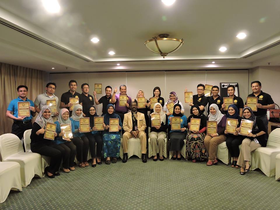
Comments about Land Surveying In Essence: Establishing the Geomatics Contexts – SI, CAD, GIS, Geodetic and Plane Surveys - At the institution - London - Greater London

  • Course description
    Duration:10 DaysThis Course is Designed For: Land Surveyors; Property Surveyors; Construction Surveyors; Construction Superintendents; Construction Supervisors; Mineral Rights Owners; Surface Rights Owners; Property developers; Architects; Geophysicists,  Mapping Agents; Industrial Builders; Domestic Builders; Land Preservationists; Land Office Administrators; County Court Officials; Court Advisors; Land Record Office Workers; All others with a genuine interest in advanced Land – Geomatics – Surveying.

Other programs related to environmental policy

This site uses cookies.
If you continue navigating, the use of cookies is deemed to be accepted.
See more  |