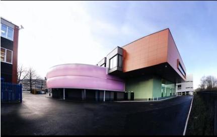
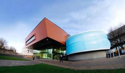
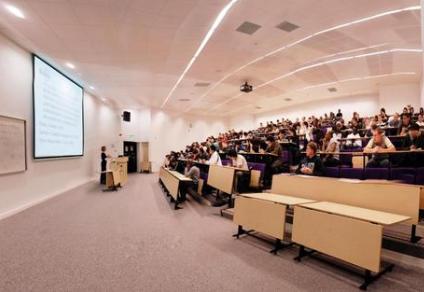
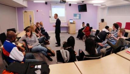
Course description
Course content
The first year, common to all the degrees, covers the basics. Then by selecting from the range of taught modules available in the second year, students effectively determine which of the four MSc degrees they will ultimately be awarded:
-Geographical Information Systems
-Geographical Information Science
-Geographical Information Systems & Environment
-Geographical Information Systems & Management
A dissertation, based on a piece of original research, is submitted at the end of the third and final year, completing the MSc. Leaving the course after successfully completing the first year leads to the award of the Postgraduate Certificate in GIS, and leaving at the end of the second year to the award of a Postgraduate Diploma in one of the four named courses listed above.
Assessment
The taught modules are all assessed through coursework. There are no examinations.
Career progression
Students studying on these degree courses come from a variety of backgrounds including: analysts/programmers, cartographers/surveyors, consultants, GIS specialists, information technology/ information systems, lecturing, marketing, oil exploration, planning and project management. Career opportunities are often enhanced following completion of one of the GIS MScs.
Mode of study
Students are expected to spend about 600 hours studying per year. As the courses are delivered through distance-learning, students can allocate study time to suit their own circumstance