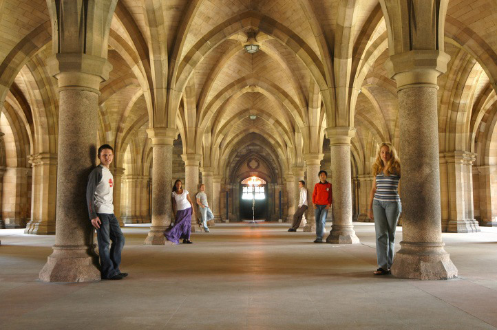
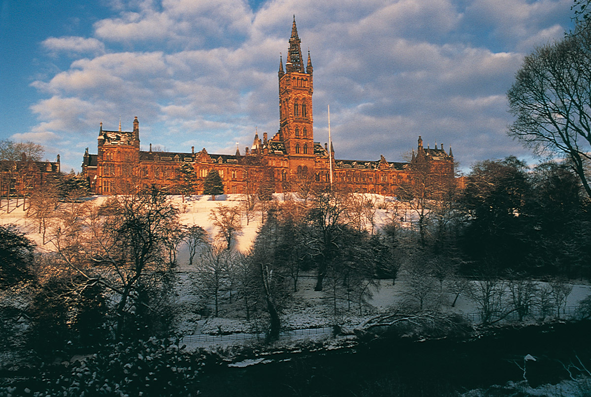
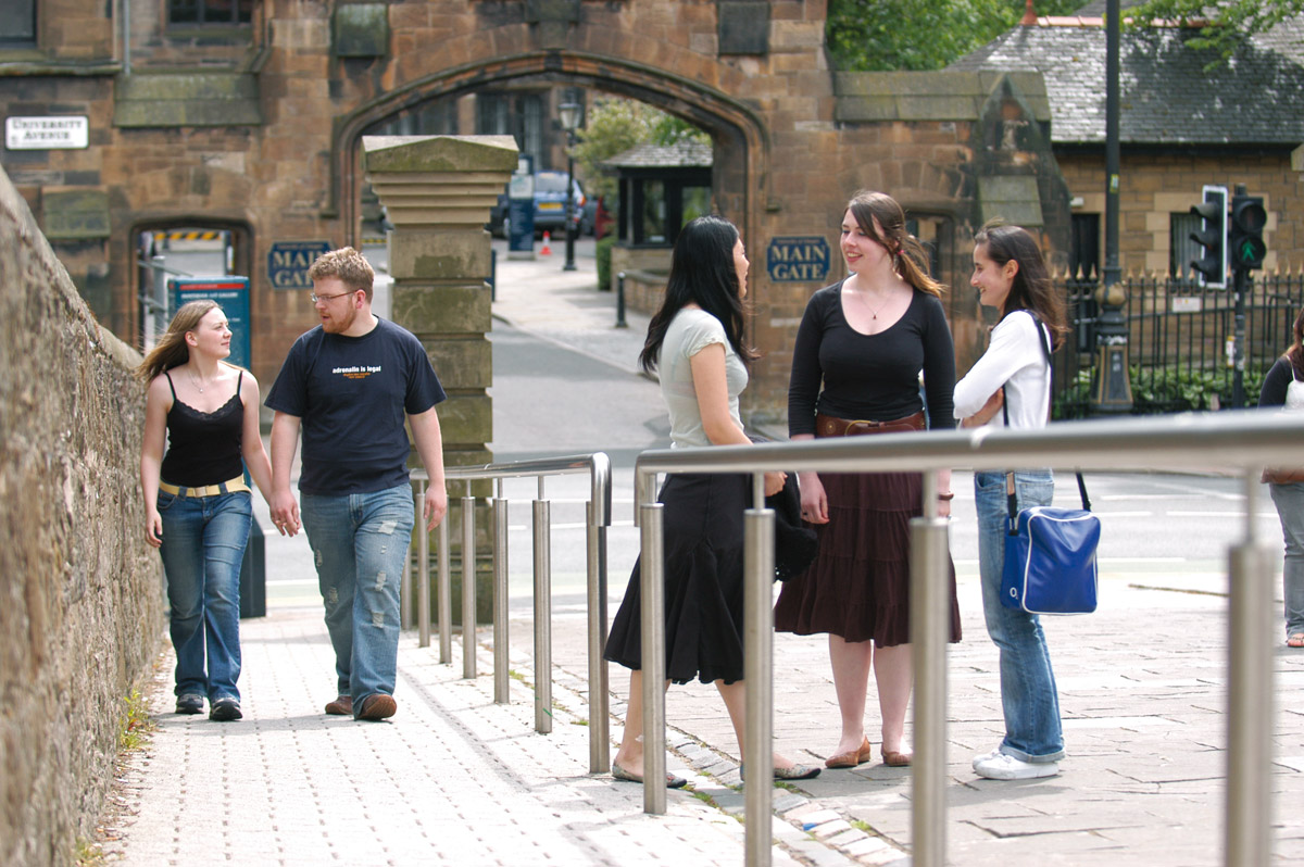
MSc Geospatial & Mapping Sciences

Speak without obligation to University of Glasgow

To contact you must accept the privacy policy

Image gallery

Comments about MSc Geospatial & Mapping Sciences - At the institution - Glasgow - Scotland

  • Entry requirements
    Entry requirements Normally an Honours degree in a relevant field such as civil engineering, earth or environmental science, geography, mathematics, physics, or planning, but others with some mathematical background will be considered. Those with a degree in geomatics or a closely related subject or who meet the age and experience criteria of the Royal Institution of Chartered Surveyors can use the programme as a route to a professional qualification or preparation for a research degree and may, under special circumstances, be given exemption from some aspects of the programme. Entry without standard academic qualifications, or with technical qualifications in geomatics for those with significant practical experience in related employment, will be considered on an individual basis.
  • Academic title
    MSc Geospatial & Mapping Sciences
  • Course description
    MSc: 12 months full-time; 24-48 months part-time
    PgDip: 9 months full-time; 21-44 months part-time
    PgCert: 14 weeks full-time; 9-32 months part-time

    Content

    This is a new programme for those seeking a career in geomatics: land and engineering; surveying; hydrographic surveying; land registration/cadastre and LIS; photogrammetric and remote sensing engineering; management of geospatial information.

    The focus of the programme is on understanding the theory and practice of geospatial data collection; data and information quality; applications of survey information; and research and development in the field of geomatics.

    The programme has been developed in close collaboration with industry to meet the global demand for professionals in this field and meets the academic requirements for membership of relevant professional bodies.

Other programs related to geography and cartography

This site uses cookies.
If you continue navigating, the use of cookies is deemed to be accepted.
See more  |