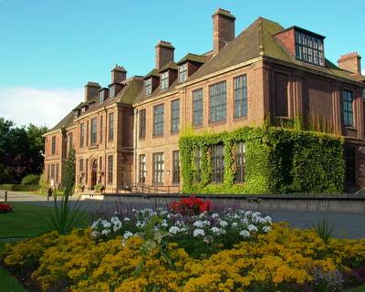
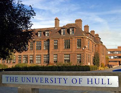
MSc GIS and Environmental Modelling

Speak without obligation to University of Hull

To contact you must accept the privacy policy

Image gallery

Comments about MSc GIS and Environmental Modelling - At the institution - Hull - East Yorkshire

  • Objectives
    This programme provides you with the fundamental scientific and technical principles essential to use GIS and monitor and model key environmental systems. The emphasis is on practical training with supporting lectures. The programme also encompasses environmental modelling packages (for example hydraulic modelling using the HEC-GEORAS software); physical modelling of fluvial systems, including setting up and using a flume; programming in C# using the Microsoft Visual Studio .net environment; the relevance, importance and limitations of models; observation and monitoring techniques such as ground penetrating radar, remote sensing and DGPS surveying; and field skills, techniques and practical experience of all of the above.
  • Entry requirements
    Entry requirements:A minimum 2:2 honours degree (or equivalent qualification) and a basic grounding in two or more clinical disciplines from medical microbiology, clinical chemistry, cell pathology and haematology. Applicants with non-standard qualifications may apply, as appropriate experience will be taken into account during the selection process. An English language score of IELTS 6.0 or TOEFL 550 is required of international students whose first language is not English.
  • Academic title
    MSc GIS and Environmental Modelling
  • Course description
    ABOUT THE PROGRAMME

    This programme provides skills that are vital in nearly all fields of environmental work and uses numerical models to predict how natural systems respond to changes in their environment, such as climate change. Applications include flood risk modelling, biodiversity models and climate models.

    This qualification is suitable for careers in environmental consultancy, with regulatory agencies, in the water industry or as preparation for a PhD. The programme commences in September.

    CORE MODULES

    -Principles of GIS
    -Introduction to Programming for Environmental Modellers
    -GIS and Environmental Modelling Field Course
    -Research Design
    -Dissertation (20,000 word limit)

    OPTIONAL MODULES

    -GIS and Remote Sensing
    -Advanced Environmental Modelling
    -Applied Project (work placement)
    -Reflective Practice (work-based module for students in employment)
    -Contemporary Issues in Environmental Technology

    FURTHER MODULE INFORMATION
    You choose two options from the above list. Some modules have maximum or minimum student numbers.

    We regularly review all our programmes. See the website for module availability.

    ASSESSMENT
    Assessment includes essays, exams, group projects, presentations and dissertation at the MSc stage.

    SPECIAL FEATURES
    The Geography Department was ranked as level 5 in the 2001 RAE and achieved excellent ratings in the 2005 and 2006 National Student Surveys.

    The department contains a wide range of wellequipped teaching and research facilities, including lecture theatres, seminar rooms, laboratories, networked compter areas and a newly refurbished GIS laboratory.

    We have strong links with local industry and government, so work-based modules and industrybased dissertations, or both, are possible.

    RELATED RESEARCH AREAS
    -Numerical and physical modelling of river systems
    -Numerical modelling of hydrological systems
    -Application of remote sensing techniques to monitor and model environmental impact

Other programs related to geography and cartography

This site uses cookies.
If you continue navigating, the use of cookies is deemed to be accepted.
See more  |